Family and Community Origins on the Eastport Peninsula
Page 1
These series of articles traces the origin and development of settlement in the Eastport Peninsula area of Bonavista Bay placing particular emphasis on its founding families and the personality of each community. It also highlights the Peninsula's social and cultural history and its ecological and cultural character.
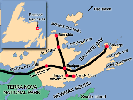
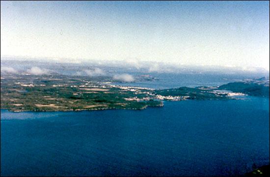
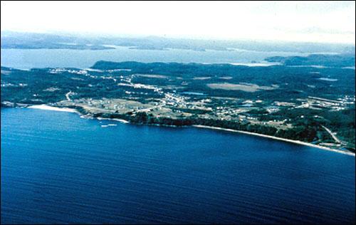
The Eastport Peninsula is one of Newfoundland's smaller but more interesting peninsulas. Set among a myriad of islands in the inner central part of Bonavista Bay, the peninsula extends seaward from Terra Nova National Park and traces a highly irregular and cliffy coastline along Newman Sound to the south, around the headlands of Salvage, running around Salvage (some say Eastport) Bay to the east and thence following the deeply indented waters of Damnable Bay, Morris Channel, Fair and False Bay, Bloody Reach and Northeast Arm on the north.

The peninsula and the adjoining coast embrace several distinct environmental and ecological zones ranging from barren rocky headlands and islands to well-soiled and timbered areas suitable for cultivation. These zones historically provided a variety of natural resources and opportunities for primary economic activities such as cod fishing and sealing on the headlands and outer islands (e.g. Salvage, Flat Islands), fishing primarily for salmon and lobster as well as logging and/or farming in mid-bay locations (e.g. Happy Adventure, Burnside) and logging, saw milling and boat building in "up-the-bay places" (e.g. Newman Sound). The peninsula is also a historic district of some notable distinction.

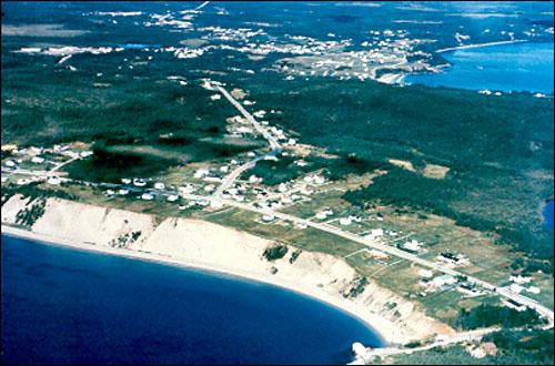
In recent times the peninsula has become a popular tourist area mainly due to its splendid coastal seascapes, natural surroundings, outdoor recreational opportunities and picturesque communities. It has been said that the prime asset of Terra Nova National Park is its proximity to the Eastport Peninsula.

The term "Eastport Peninsula" came into use during the 1960s as a regional name embracing the seven communities of Burnside, Eastport, Happy Adventure, Salvage, Sandringham, Sandy Cove and St. Chad's. These places were all linked by a road network focused on Eastport, the main central place in the road system. These places together recorded a total population of 1765 persons in 1996, a decline of 226 from 1991.

Basically, the resident population of the Peninsula has remained fairly constant since World War II. Although there was a steady outflow of young people over the last half century, sufficient numbers have remained which, combined with in-migration particularly of retired persons, to allow the population to replenish itself, but just barely. It is interesting to note that six of the communities on the peninsula (Sandringham being the exception) have ranked among the "most aged" (having the largest proportions of their populations 65 years and older) in the province in recent decades. This demographic situation not only reflects the lost of young people and declining birth rates but attests that the peninsula has become de facto one of the province's prime retirement spots. This trend also speaks to the environmental attraction of the peninsula. The tranquillity of life in pleasant natural surroundings represents one of the great endowments of outport Newfoundland generally and the Eastport Peninsula particularly. The chief failure of the area is that, as in rural Newfoundland generally, it has been unable to generate and sustain sufficient local employment opportunities to retain young people and stem the out-migration trend.


