Toggle navigation
Newfoundland and Labrador Heritage
Browsing Options
By Theme
By Subject
By Time Period
By Location
Browsing Options
By Theme
By Subject
By Time Period
By Location
Home
Mission Statement
Resources
Map Index
Books and Documents
Ask a NL Question
Glossary
How to Cite NL Heritage Website
Courses
Grade 8
Grade 11
____________
Archival Mysteries
Alien Enemies, 1914-1918
Icefields Disaster
Partnered Projects
Colony of Avalon
Let's Teach About Women
Silk Robes and Sou'westers
First World War
Première Guerre mondiale
DNE Word Form Database
Dialect Atlas of NL
Partners List from Old Site
Dictionary of Newfoundland English
Search
Preface
Introduction
Bibliography
Works Cited
Abbreviations
First Edition Corrections
Second Edition Preface
Bibliography (supplement)
Works Cited (supplement)
Abbreviations (supplement)
A-Z Index
____________
DNE Word Form Database
Dialect Atlas of NL
Videos
Documentary Video Series (English)
Une série de documentaires (en français)
Arts Videos
Archival Videos
Images
Subject
Location
Type
Period
Site Map
Table of Contents
The Arts
Economy
En français
Exploration and Settlement
Government and Politics
Indigenous Peoples
Natural Environment
Society and Culture
First World War
____________
Archives and Special Collections
Ferryland and the Colony of Avalon
Government House
Mount Pearl Junior High School
Registered Heritage Structures
Stephenville Integrated High School Project
Women's History Group Walking Tour
Twitter
Facebook
Matching Articles"Geography" (Total 32)
Paradise River
The Paradise River ecoregion is located in the southeastern section of Labrador.
Smallwood Reservoir/ Michikamau
The Smallwood Reservoir/ Michikamau ecoregion can be divided into two sections in Labrador.
South Avalon Burin Oceanic Barrens
South Avalon Burin Oceanic Barrens ecoregion covers the southern tips of the Avalon and Burin peninsulas.
Southwestern Newfoundland
This ecoregion covers the west coast of Newfoundland, south of the Northern Peninsula and west of the barrens of the southern...
Taiga Shield Ecozone
The Taiga Shield Ecozone is located on both sides of Hudson Bay, with the eastern portion running into Labrador.
Torngat Mountains
The Torngat Mountains ecoregion is located in the northernmost part of Labrador.
Ungava Bay Basin - Ecoregion of Labrador
An article on the Ungava Bay Basin ecoregion of Labrador which extends northward from Schefferville and encompasses most of the Labrador Hills in northeastern Quebec.
Winokapau Lake North, Labrador
This ecoregion extends northeast from Winokapau Lake and borders the western extensions of the Lake Melville ecoregion.
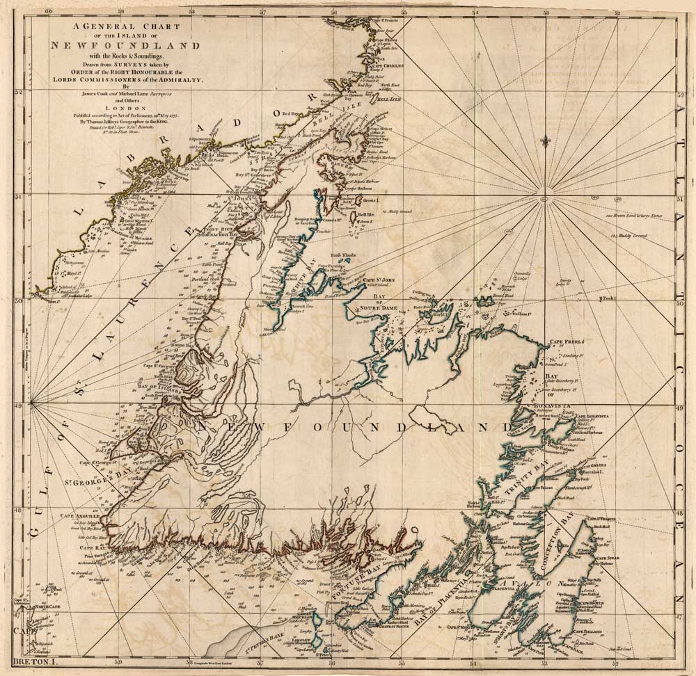
James Cook's Charts of Newfoundland and Labrador
The Newfoundland and Labrador Heritage Web Site includes both map reproductions and illustrative maps created for specific articles.
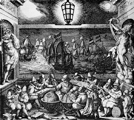
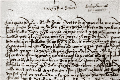
Geographical Knowledge at the Time of the Cabot Voyages
During the late 15th century, Europe was on the verge of geographical expansion. Motives for exploration in the medieval era were diverse.
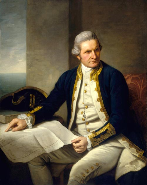
James Cook
A brief biography on explorer James Cook, who created charts of the Newfoundland coastline during the 18th century.
Migratory Fishery - History - Colony of Avalon
A brief overview of the history of the migratory fishery on the east coast of Newfoundland. Ferryland is highlighted as a port.
« Previous
1
2
Next »
Restrict Results
Filter by Theme
Environment
Exploration
Filter by Period
Multiple Periods
Pre 16th Century
16th Century
17th Century
18th Century
21st Century
Filter by Location
Belle Isle
Central Newfoundland
Ferryland
Lake Melville
Mecatina River
Michikamau
Paradise River
South Avalon Burin Oceanic Barrens
Torngat Mountains
Ungava Bay
Winokapau Lake North
Filter by Type
Article
Diagram
Image
Map