Toggle navigation
Newfoundland and Labrador Heritage
Browsing Options
By Theme
By Subject
By Time Period
By Location
Browsing Options
By Theme
By Subject
By Time Period
By Location
Home
Mission Statement
Resources
Map Index
Books and Documents
Ask a NL Question
Glossary
How to Cite NL Heritage Website
Courses
Grade 8
Grade 11
____________
Archival Mysteries
Alien Enemies, 1914-1918
Icefields Disaster
Partnered Projects
Colony of Avalon
Let's Teach About Women
Silk Robes and Sou'westers
First World War
Première Guerre mondiale
DNE Word Form Database
Dialect Atlas of NL
Partners List from Old Site
Dictionary of Newfoundland English
Search
Preface
Introduction
Bibliography
Works Cited
Abbreviations
First Edition Corrections
Second Edition Preface
Bibliography (supplement)
Works Cited (supplement)
Abbreviations (supplement)
A-Z Index
____________
DNE Word Form Database
Dialect Atlas of NL
Videos
Documentary Video Series (English)
Une série de documentaires (en français)
Arts Videos
Archival Videos
Images
Subject
Location
Type
Period
Site Map
Table of Contents
The Arts
Economy
En français
Exploration and Settlement
Government and Politics
Indigenous Peoples
Natural Environment
Society and Culture
First World War
____________
Archives and Special Collections
Ferryland and the Colony of Avalon
Government House
Mount Pearl Junior High School
Registered Heritage Structures
Stephenville Integrated High School Project
Women's History Group Walking Tour
Twitter
Facebook
Matching Articles"Multiple Periods" (Total 129)
Strait of Belle Isle
The Strait of Belle Isle ecoregion occupies the northern tip of the Northern Peninsula. It is characterized by cool summers and cold winters.
Boreal Shield Ecozone
The largest ecozone, the Boreal Shield, extends in a broad, U-shape from northern Saskatchewan to Newfoundland.
Central Newfoundland
An article on the Central Newfoundland ecoregion which covers the north-central part of the island of Newfoundland.
Climate Impacts
A look at the impact of climate on human activity in Newfoundland and Labrador
Climate
Like location, climate has been a decisive factor in shaping the Newfoundland and Labrador experience.
Coastal Barrens
This ecoregion is composed of islands, exposed headlands, and protected inlets, from Napaktok Bay south to the Strait of Belle Isle.
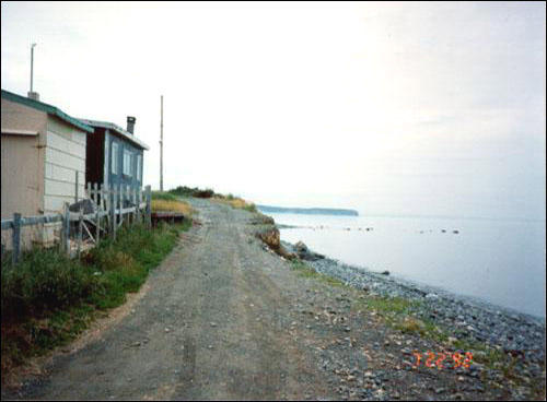
Coastal Erosion
A look at erosion along Newfoundland's coasts.
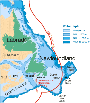
Cold Ocean: Newfoundland and Labrador Heritage Web
One very important feature of Newfoundland and Labrador is that the geological boundary of North America lies offshore at the edge of the continental shelf.
Eagle Plateau
The Eagle Plateau ecoregion comprises the Mealy Mountains and an area south of Lake Melville in southern Labrador.
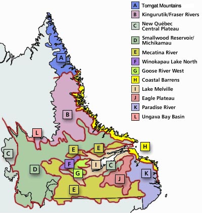
Ecoregions of Labrador
An interactive map showing the twelve ecoregions of Labrador
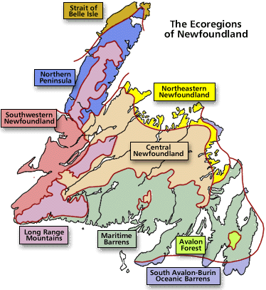
Ecoregions of Newfoundland
A look at the the three ecozones of the island of Newfoundland: Southern Boreal, Middle Boreal and Northern Boreal.
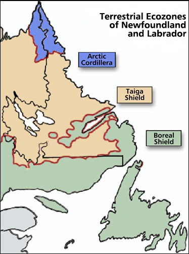
Ecozones of Newfoundland and Labrador
Newfoundland and Labrador can be divided into three ecozones: Artic Cordillera, Tiaga Shield, and Boreal Shield.
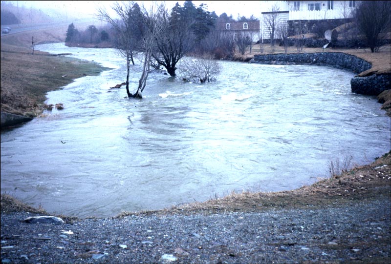
Flood Risk Zones
Flood risk zone maps have been prepared for sixteen communities in the province most prone to flooding.
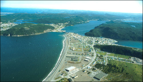
Coastal Flooding
Coastal Flooding--Natural Environment--Newfoundland and Labrador Heritage Web
Fresh Water Environment
The province of Newfoundland and Labrador has ample fresh water, the source of which is abundant precipitation.
Other Geological Events
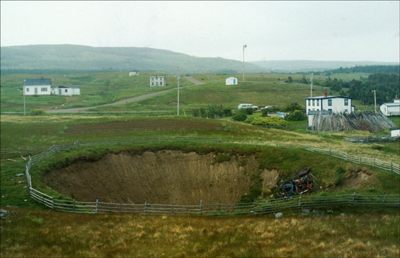
How sinkholes and other geological events impacet Newfoundland and Labrador's environment.
Geological Hazards and Disasters
Geological Hazards and Disasters Occurring in Newfoundland and Labrador.
Geological Landscape of Newfoundland and Labrador
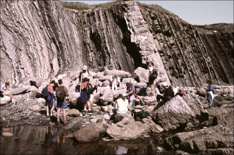
Earth scientists from all over the globe visit Newfoundland and Labrador to study some of the oldest rocks in the world.
Goose River West
This ecoregion covers an area west of Lake Melville in southern Labrador.
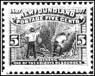
Precontact and Historic Mining
The first inhabitants of Newfoundland and Labrador - the Maritime Archaic Indians - quarried local stone as early as 7500 years ago.
« Previous
1
2
3
4
5
6
7
Next »
Restrict Results
Filter by Theme
Arts
Economy
Environment
Exploration
Indigenous
Politics
Society
Filter by Subject
Animals
Archaeology
Architecture
Archives And Special Collections
Arts
Artwork
Beothuk
Cabot
Churchill Falls
Civil Governors
Climate
Colonial Governors
Colony Of Avalon
Commission Of Government
Communities
Show 66 more...
Confederation
Culture
Dance
Disease
Drawings
Economy
Ecoregion
Ecozone
English French Conflict
Entente Cordiale
Entertainment
Environment
European Indigenous Relations
Exploration
Fishery
Fishery: Seal
Flag
Folklore
French Governors
Geography
Geological Hazards
Geology
Glossary
Government
Government House
Governors
Immigration
Indigenous People
Indigenous Peoples
Industrial Development
Innu
Inuit
Kablunângajuit
Labrador Inuit Association
Land Claims
Landscape
Lieutenant Governors
Literature
Mi'kmaq
Military Bases
Mining
Moravian Church
Mummering
Music
Naval Governors
NunatuKavut
Organizations
Population
Proprietary Governors
Registered Heritage Structures
Religion
Resettlement
Seal Hunt
Settlement
Shanawdithit
Southern Inuit
Theatre
Thule People
Trade
Traditions
Transportation
Vegetation
Walking Tour Guide
War
Writers
Show 66 fewer...
Filter by Location
Avalon Forest
Badger
Belle Isle
Bonavista
Bonavista Bay
Boyd's Cove
Bristol's Hope
Burin Peninsula
Central Newfoundland
Chamberlains
Conception Bay
Corner Brook
Eastport Peninsula
Ferryland
Francois
Show 23 more...
Grates Cove
Harbour Breton
Harbour Grace
Holyrood Pond
Kippens
Manuels
Mecatina River
Michikamau
Notre Dame Bay
Paradise River
Placentia
Point Verde
Port Au Port East
Salmonier
South Avalon Burin Oceanic Barrens
Springdale
St. John's
Stephenville
Torngat Mountains
Ungava Bay
Wesleyville
Winokapau Lake North
Show 23 fewer...
Filter by Type
Article
Diagram
Glossary
Image
Map
Table Of Contents