Matching Articles"Geography" (Total 16)

  • Within Labrador, this ecozone occupies the northernmost section.
  • The largest ecozone, the Boreal Shield, extends in a broad, U-shape from northern Saskatchewan to Newfoundland.
  • This ecoregion is composed of islands, exposed headlands, and protected inlets, from Napaktok Bay south to the Strait of Belle Isle.
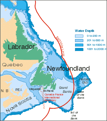
  • One very important feature of Newfoundland and Labrador is that the geological boundary of North America lies offshore at the edge of the continental shelf.
  • The Eagle Plateau ecoregion comprises the Mealy Mountains and an area south of Lake Melville in southern Labrador.
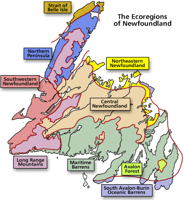
  • A look at the the three ecozones of the island of Newfoundland: Southern Boreal, Middle Boreal and Northern Boreal.
  • The province of Newfoundland and Labrador has ample fresh water, the source of which is abundant precipitation.
  • This ecoregion covers an area west of Lake Melville in southern Labrador.
  • The Kingurutik/Fraser Rivers ecoregion takes in several other mountainous outcrops, including the Mealy Mountains, south of Lake Melville.
  • The landscape of Newfoundland and Labrador has had a remarkable geological history, formed over many millions of years
  • This ecoregion is divided into three separate upland areas, extending from the southwestern coast of Newfoundland to its Northern Peninsula.
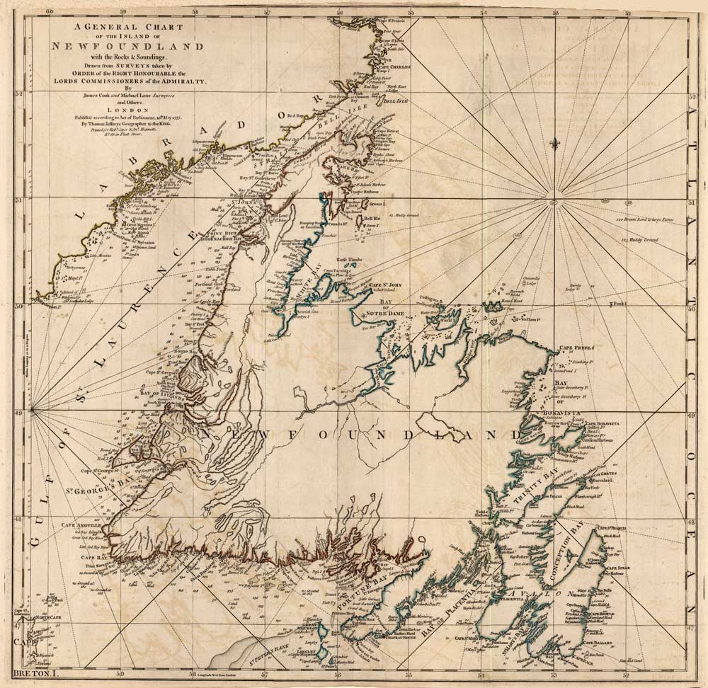
  • The Newfoundland and Labrador Heritage Web Site includes both map reproductions and illustrative maps created for specific articles.
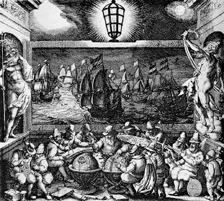
  • During the late 15th century, Europe was on the verge of geographical expansion. Motives for exploration in the medieval era were diverse.
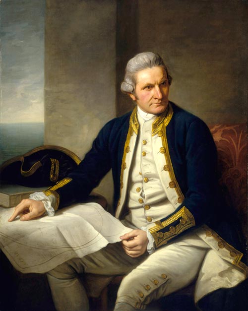
  • A brief biography on explorer James Cook, who created charts of the Newfoundland coastline during the 18th century.
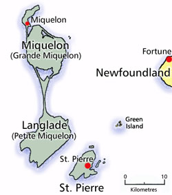
  • An important fishing base for centuries, St. Pierre and Miquelon's population have had a long and varied relationship with their neighbours in Newfoundland.
  • Facts and Figures for Newfoundland and Labrador