Matching Articles"Environment" (Total 16)

  • Click on TABLE OF CONTENTS above to access a list of all Natural Environment articles.

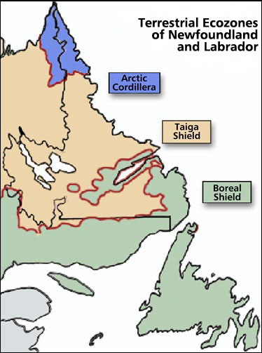
  • Within Labrador, this ecozone occupies the northernmost section.
  • The largest ecozone, the Boreal Shield, extends in a broad, U-shape from northern Saskatchewan to Newfoundland.
  • The following examples illustrate the use of long-term climate data for siting, design, and operational planning in Newfoundland and Labrador.
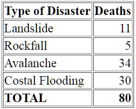
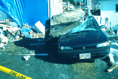
  • Table of the Costs of Newfoundland and Labrador's Geological Hazards
  • Estimating the cost of geological hazards is extremely difficult.
  • The Eagle Plateau ecoregion comprises the Mealy Mountains and an area south of Lake Melville in southern Labrador.
  • Newfoundland and Labrador can be divided into three ecozones: Artic Cordillera, Tiaga Shield, and Boreal Shield.
  • This ecoregion covers an area west of Lake Melville in southern Labrador.
  • A glimpse into the career of James P. Howley (1847-1918), one of Newfoundland's most important geologists of the 19th and early 20th centuries.
  • The Kingurutik/Fraser Rivers ecoregion takes in several other mountainous outcrops, including the Mealy Mountains, south of Lake Melville.
  • The Maritime Barrens ecoregion extends westward across the southern half of the uplands of Newfoundland to the Long Range Mountains.
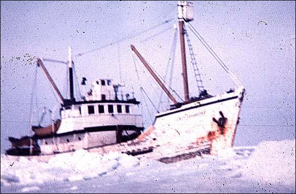
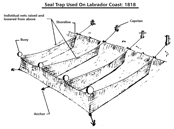
  • Although the sealing industry was in decline at the turn of the century, Newfoundland companies continued to fit out steamers for the hunt.
  • Seal Fishery: Hunting Methods--Natural Environment--Newfoundland and Labrador Heritage Web
  • Slope-stability or mass-movement problems occur where either sediment and/or rock and/or snow move downslope in response to gravity.
  • The Taiga Shield Ecozone is located on both sides of Hudson Bay, with the eastern portion running into Labrador.
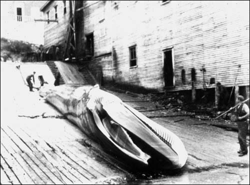
  • The Commercial whaling industry in Newfoundland and Labrador during the 20th century