Matching Articles"Multiple Periods" (Total 20)

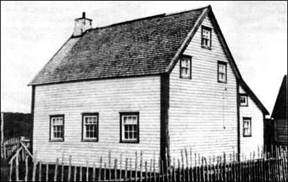
  • Examples of architecture from the fishing community, Bonavista.
  • The importance of preserving Newfoundland folk architecture. Examples of architecture from Trinity and Bonavista.
  • Within Labrador, this ecozone occupies the northernmost section.
  • The largest ecozone, the Boreal Shield, extends in a broad, U-shape from northern Saskatchewan to Newfoundland.
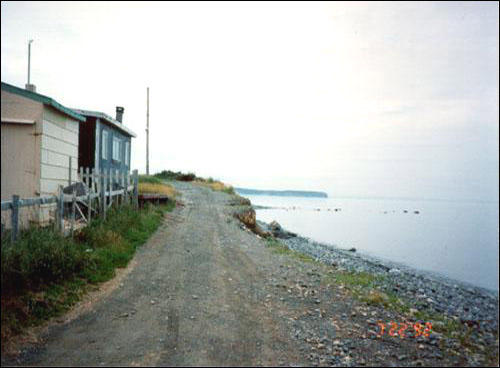
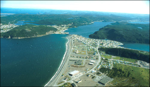
  • A look at erosion along Newfoundland's coasts.
  • The Eagle Plateau ecoregion comprises the Mealy Mountains and an area south of Lake Melville in southern Labrador.
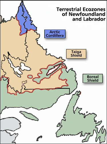
  • Newfoundland and Labrador can be divided into three ecozones: Artic Cordillera, Tiaga Shield, and Boreal Shield.
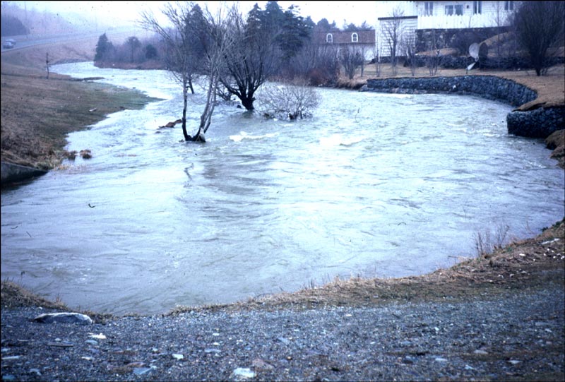
  • Flood risk zone maps have been prepared for sixteen communities in the province most prone to flooding.
  • Coastal Flooding--Natural Environment--Newfoundland and Labrador Heritage Web
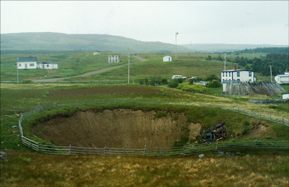
  • How sinkholes and other geological events impacet Newfoundland and Labrador's environment.
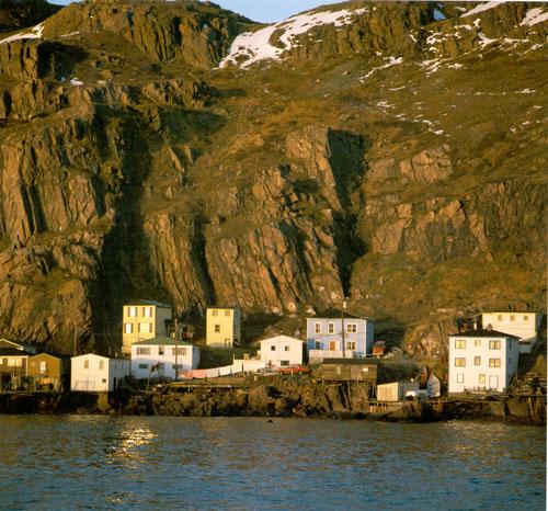
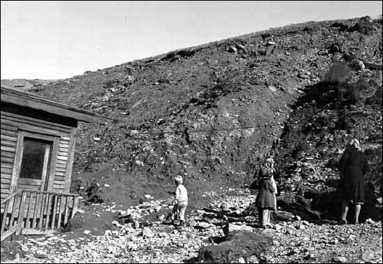
  • Geological Hazards and Disasters Occurring in Newfoundland and Labrador.
  • This ecoregion covers an area west of Lake Melville in southern Labrador.
  • The Kingurutik/Fraser Rivers ecoregion takes in several other mountainous outcrops, including the Mealy Mountains, south of Lake Melville.
  • Landslides are the downslope movement of unconsolidated material under the influence of gravity.
  • The Maritime Barrens ecoregion extends westward across the southern half of the uplands of Newfoundland to the Long Range Mountains.
  • Rockfalls are the downslope movement of loose rocks, either through free fall or by rolling.
  • The Taiga Shield Ecozone is located on both sides of Hudson Bay, with the eastern portion running into Labrador.
  • Architectural terms used in describing heritage structures.
  • Recent archeological evidence indicates that the inner reaches of Bonavista Bay were occupied by Indigenous cultures dating back some 5000 years.
  • Guide to the Women's History Walking Tour