Matching Articles"Environment" (Total 16)

  • Click on TABLE OF CONTENTS above to access a list of all Natural Environment articles.

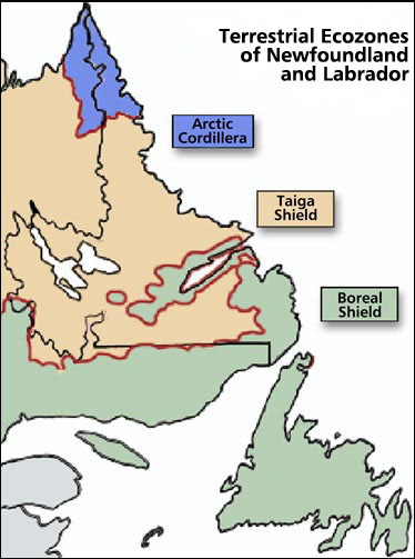
  • Within Labrador, this ecozone occupies the northernmost section.
  • The largest ecozone, the Boreal Shield, extends in a broad, U-shape from northern Saskatchewan to Newfoundland.
  • The following examples illustrate the use of long-term climate data for siting, design, and operational planning in Newfoundland and Labrador.
  • A look at the impact of climate on human activity in Newfoundland and Labrador
  • Like location, climate has been a decisive factor in shaping the Newfoundland and Labrador experience.
  • This ecoregion is composed of islands, exposed headlands, and protected inlets, from Napaktok Bay south to the Strait of Belle Isle.
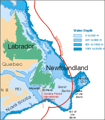
  • One very important feature of Newfoundland and Labrador is that the geological boundary of North America lies offshore at the edge of the continental shelf.
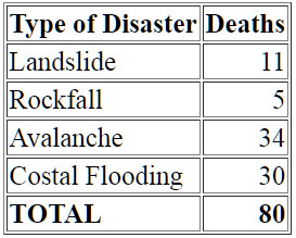
  • Table of the Costs of Newfoundland and Labrador's Geological Hazards
  • Estimating the cost of geological hazards is extremely difficult.
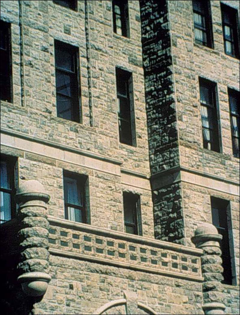
  • Dimension stone includes any natural stone that has been quarried and cut or shaped to specified sizes.
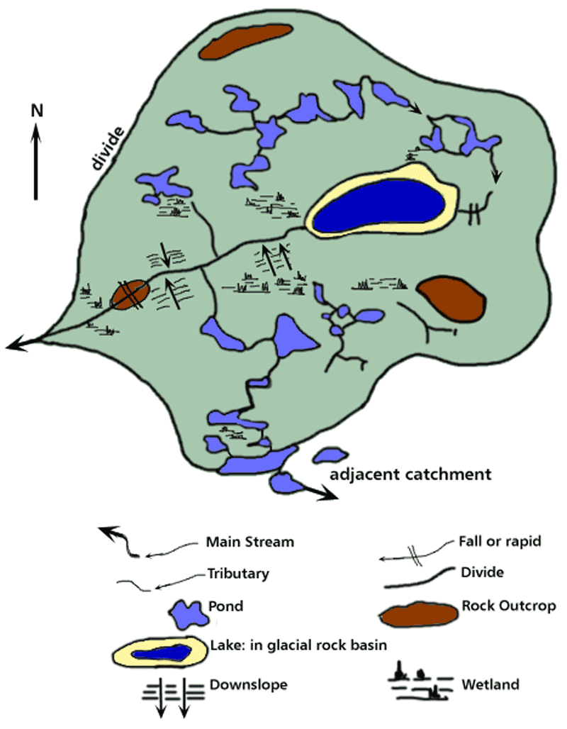
  • A drainage basin, or catchment as it is also called, is the part of the land surface that is drained by a single river system.
  • The Eagle Plateau ecoregion comprises the Mealy Mountains and an area south of Lake Melville in southern Labrador.
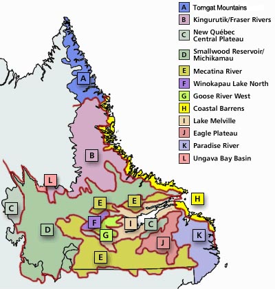
  • An interactive map showing the twelve ecoregions of Labrador
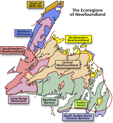
  • A look at the the three ecozones of the island of Newfoundland: Southern Boreal, Middle Boreal and Northern Boreal.
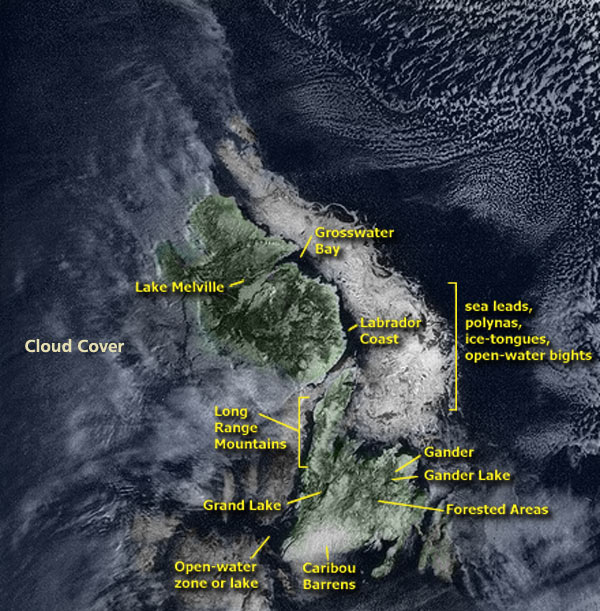
  • Newfoundland and Labrador can be divided into three ecozones: Artic Cordillera, Tiaga Shield, and Boreal Shield.
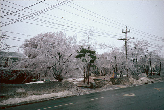
  • Impacts of climate extremes such as prolonged ice accretion, abnormally cool, wet summers or snow deficient winters, heavy rainfall, etc.