Matching Articles"18th Century" (Total 12)

  • The European exploration of Newfoundland and Labrador continued through the 18th and 19th centuries, often with the assistance of Native peoples.
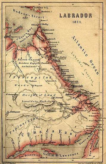
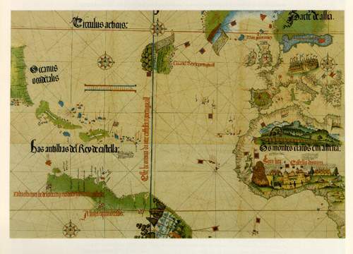
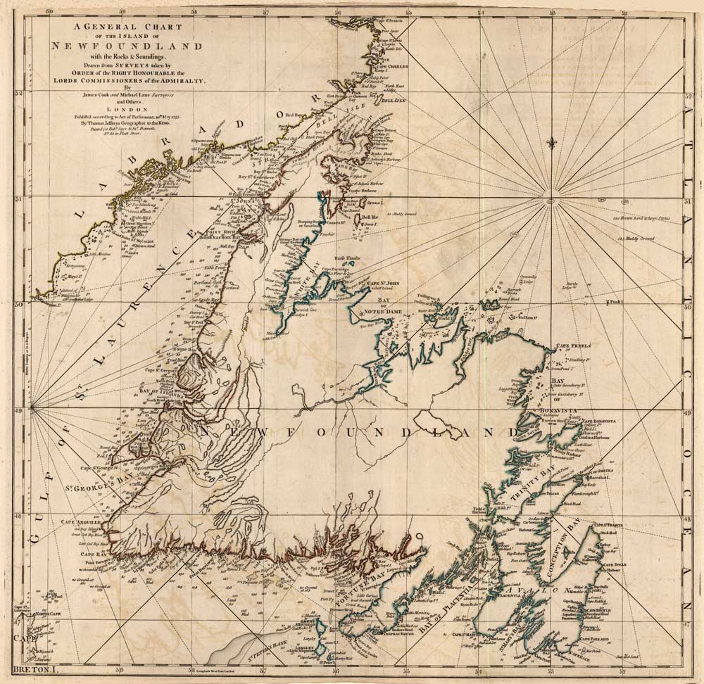
  • Early Cartography of Newfoundland and Labrador--Exploration--Newfoundland and Labrador Heritage Web
  • The Newfoundland and Labrador Heritage Web Site includes both map reproductions and illustrative maps created for specific articles.
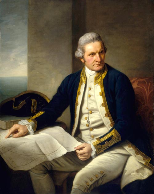
  • A brief biography on explorer James Cook, who created charts of the Newfoundland coastline during the 18th century.
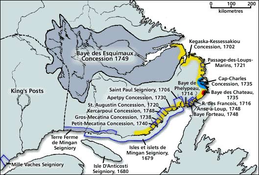
  • A history of Labrador from the French period of occupation to 1763.
  • European knowledge of the northern Labrador coast was significantly improved after 1763 by a series of voyages carried out by Moravian missionaries.
  • An English Translation of the Original French Narrative from Documents of the Enquiry into the Labrador Boundary by the British Privy Council.
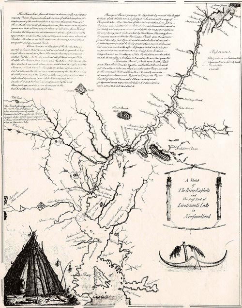
  • Information about the Newfoundland interior, including interaction with the Beothuk and mapping the area.
  • The British Government organized the Labrador territories it received after a victory in the Seven Years' War, and thus created Quebec.
  • Agreement between the Governments of the United Kingdom and the United States of America relating to the Bases Leased to the United States of America
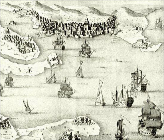
  • An article on the royal navy in Newfoundland in the Early 18th Century.
  • Positive and negative influences of British, French, and American military bases on Newfoundland and Labrador.