Geographical Knowledge at the Time of the Cabot Voyages
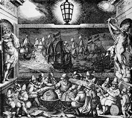
During the late 15th century, Europe was on the verge of geographical expansion. Motives for exploration in the medieval era were diverse.

Motives for Exploration
Some believe pressures on the spice trade routes forced Europe to seek other possibilities for importing these goods, others invoke personal initiative as the basic engine of European exploration. Restrictions upon diet and meat consumption by the Catholic Church was also an important factor in finding new fishing grounds and this in itself is held by many as the underlying reason for the exploration of the North Atlantic. No matter what the specific motives were, the principal force for exploration was an economic one.
Knowledge of the North Atlantic
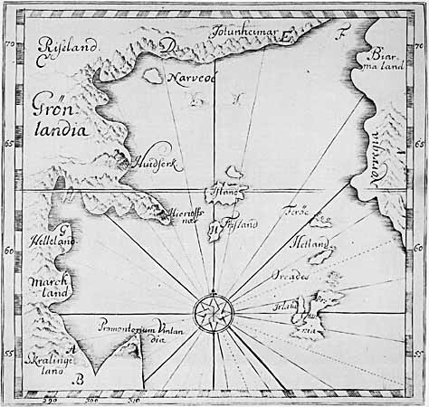
It is hard to determine what European mariners of this era knew of the North Atlantic. We can only guess at specifics by studying contemporary maps. We also don't know if many Europeans had knowledge of Norse explorations and settlements from Greenland to Vinland. Papal knowledge of Greenland seems to have extended to the late 15th century, but the settlements had met with failure and the island-colony had faded away from the European psyche.
Mythical islands in the North Atlantic were plentiful: the islands of Saint-Brendan, Hy-Brazil, the islands of Seven Cities and Frisland to name a few.

These islands are held by some as being rooted in a long forgotten discovery of North America by Irish monks. Other mythical or phantom islands may have been added to maps because of optical illusions, icebergs drifting in the distance, or just pure legend.
The Discovery of North America
Some ethnic minorities of Western Europe argue that their forefathers were the first to discover North America, long before any official exploration schemes were undertaken, but that the knowledge of such voyages was kept a secret for commercial reasons. Such is the case with the Basque and Bretons whose claims are taken more seriously than others. However, little factual evidence is available to support their argument. What is known is that these peoples were among the first to harvest the riches of the Oceans of the New World.
Misconceptions about the 15th Century
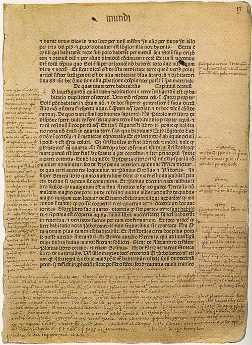
A commonly held present-day misconception alleges that the people of the 15th century believed the earth was flat, and that geographical knowledge of the era was rudimentary. According to this view, Columbus was a visionary who proved the earth was a sphere. In fact, map-making was much more advanced and sophisticated than once believed, and the belief that the earth was spherical was held by most prominent intellectuals and educated people of the time. Progress in navigational skills, geography, technology and shipbuilding were the major achievements that made European expansion possible, regardless of beliefs.

Cartography
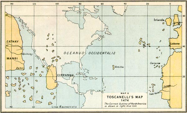
The idea of transatlantic voyages was first presented to Western European monarchs during this era by Paolo del Pozzo Toscanelli, a Florentine intellectual, as early as 1474. He held many ideas regarding the possibility of transatlantic voyages and actually combined his knowledge of cartography and mathematics to create a theoretical map of the Atlantic. The decisive moment came when the idea of a westward trip to Asia seemed feasible and profitable. We must not forget that from Cabot to Cartier, all initially thought they had found a passage to Cathay and Cipango: China and Japan.

Mapmaking during the late 15th century, although considered rudimentary by today's standards, was in fact quite advanced. One of the oldest globes, created by Martin Behaim, dates from the same year Columbus reached the New World, and we know that this globe and its author had little connection with Christopher Columbus. Advances in science and navigation, such as a wider and generalized use of the mariner's compass, helped to make mapping from direct observation possible. Traditional medieval mapping practices were gradually being abandoned and replaced with a more scientific and mathematical approach.
What is very likely is that the discoveries of new lands by Columbus, Cabot, Corte-Real, Verrazano and other explorers kept the ongoing revolution in cartography alive. This large amount of new knowledge, being acquired in a relatively short time, not only fostered a greater desire to incorporate new data in charts but also accelerated the evolution of techniques used to gather this information.


